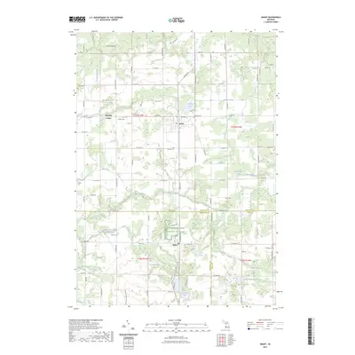
2023 Map of Grant
USGS Topo · Published 2023About this map
Grant and Ashland Center anchor this detailed modern survey of the Newaygo County landscape, where the agricultural grid meets the drainage systems of Crockery Creek and Sand Creek. The map reveals a dense concentration of historical burial grounds, including Ashland Cem, Danish Cem, and Parkview Cem, offering significant value for genealogists tracing family roots in this corner of Michigan.
Find a feature on this map
93 named features on this map. Tap any name to fly to it.
Don’t see what you’re looking for? This feature index may not catch every label — zoom into the map to look around manually.
Map Details
Editions of this 2023 Grant Map
This is the sole edition of this map. No revisions or reprints were ever made.
Other maps of this area

1918 · Cedar Springs
USGS Topo · 1:62,500

1943 · Cedar Springs
USGS Topo · 1:62,500

1945 · Ravenna
USGS Topo · 1:62,500

1954 · Midland
USGS Topo · 1:250,000

1958 · Midland
USGS Topo · 1:250,000

1958 · Sand Lake
USGS Topo · 1:62,500

1958 · Fremont
USGS Topo · 1:62,500

1959 · Midland
USGS Topo · 1:250,000

1966 · Midland
USGS Topo · 1:250,000

1967 · Sparta
USGS Topo · 1:24,000