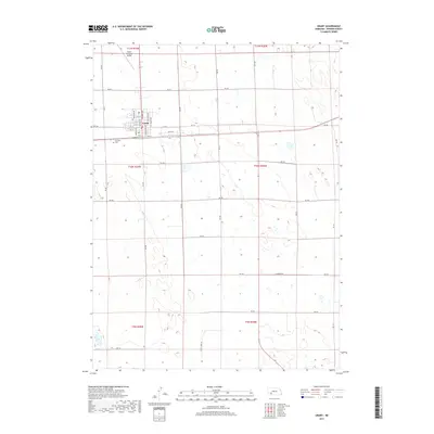
2017 Map of Grant
USGS Topo · Published 2017About this map
The city of Grant serves as the focal point of this Perkins County survey, illustrating the grid-based development of this High Plains community. The map details the town’s residential and civic structure, with named thoroughfares such as Central Ave, Lincoln Ave, and Garfield Ave defining the local core. Just outside the main town limits, the Grant Municipal Airport and Fairview Cem provide important historical and logistical context for the settlement's 21st-century footprint.
Find a feature on this map
34 named features on this map. Tap any name to fly to it.
Don’t see what you’re looking for? This feature index may not catch every label — zoom into the map to look around manually.
Map Details
Editions of this 2017 Grant Map
This is the sole edition of this map. No revisions or reprints were ever made.
Other maps of this area
1954 · McCook
USGS Topo · 1:250,000
1957 · McCook
USGS Topo · 1:250,000
1958 · McCook
USGS Topo · 1:250,000
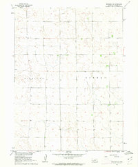
1961 · Brandon NE
USGS Topo · 1:24,000
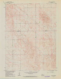
1961 · Lamar NE
USGS Topo · 1:24,000
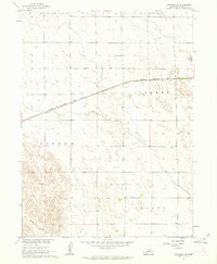
1961 · Brandon SE
USGS Topo · 1:24,000
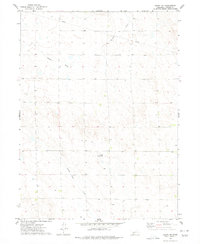
1973 · Grant NE
USGS Topo · 1:24,000
1973 · Imperial NE
USGS Topo · 1:24,000
1973 · Grant
USGS Topo · 1:24,000
1973 · Imperial NW
USGS Topo · 1:24,000