
1974 Map of Grantham
USGS Topo · Published 1976About this map
The Neuse River meanders across the northern reaches of this coastal plain landscape, defining the boundary where Johnston Co and Wayne Co meet. The settlement of Grantham serves as the central hub of this 1970s rural community, where the local economy is anchored by a dense network of family-named watercourses and small-scale infrastructure like Stevens Mill. The land is notably partitioned by numerous small tributaries including Falling Creek, Mill Creek, and Kennedy Mill Branch, which dictated the placement of agricultural fields and woodlots.
Find a feature on this map
30 named features on this map. Tap any name to fly to it.
Don’t see what you’re looking for? This feature index may not catch every label — zoom into the map to look around manually.
Map Details
Editions of this 1974 Grantham Map
This is the sole edition of this map. No revisions or reprints were ever made.
Other maps of this area

1906 · Four Oaks
USGS Topo · 1:48,000

1908 · Four Oaks
USGS Topo · 1:62,500

1909 · Coharie
USGS Topo · 1:62,500

1953 · Raleigh
USGS Topo · 1:250,000

1954 · Raleigh
USGS Topo · 1:250,000

1974 · Northwest Goldsboro
USGS Topo · 1:24,000
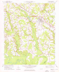
1974 · Princeton
USGS Topo · 1:24,000

1974 · Southwest Goldsboro
USGS Topo · 1:24,000
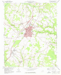
1977 · Mount Olive
USGS Topo · 1:24,000
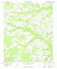
1978 · Dobbersville
USGS Topo · 1:24,000