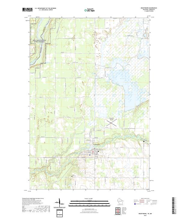
2022 Map of Grantsburg
USGS Topo · Published 2022About this map
The Grantsburg village center and its surroundings are defined by the winding Wood River and an intricate network of wetlands and flowages in northwestern Wisconsin. The landscape transitions from the river valley and Memory Lake 152 in the south toward the expansive marshes of the north, including Phantom Lake and Whiskey Cr Flowage. This area is characterized by careful water management, evident in the numerous dikes and flowages such as the Erickson Flowage and Dike 2 Flowage, which dominate the northern half of the territory.
Find a feature on this map
46 named features on this map. Tap any name to fly to it.
Don’t see what you’re looking for? This feature index may not catch every label — zoom into the map to look around manually.
Map Details
Editions of this 2022 Grantsburg Map
This is the sole edition of this map. No revisions or reprints were ever made.
Other maps of this area

1950 · Rush City
USGS Topo · 1:48,000

1950 · Grantsburg
USGS Topo · 1:48,000

1951 · Milltown
USGS Topo · 1:48,000

1953 · Stillwater
USGS Topo · 1:250,000

1955 · Rush City
USGS Topo · 1:62,500

1955 · Milltown
USGS Topo · 1:62,500

1955 · Stillwater
USGS Topo · 1:250,000

1958 · Stillwater
USGS Topo · 1:250,000

1961 · Pine City
USGS Topo · 1:62,500

1962 · Grantsburg
USGS Topo · 1:62,500