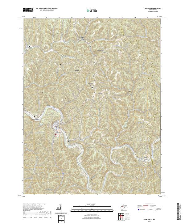
2023 Map of Grantsville
USGS Topo · Published 2023About this map
Grantsville serves as the central hub of this landscape, situated along the winding course of the Little Kanawha River. The town layout is anchored by the Calhoun County Courthouse and a dense network of local streets including Main St and Market St. The surrounding terrain is characterized by a high concentration of small family and community burial grounds, such as Pleasant Hill Cem, Broomstick Cem, and Waggoner Cem, which are scattered among the numerous knobs and ridges that define the geography.
Find a feature on this map
106 named features on this map. Tap any name to fly to it.
Don’t see what you’re looking for? This feature index may not catch every label — zoom into the map to look around manually.
Map Details
Editions of this 2023 Grantsville Map
This is the sole edition of this map. No revisions or reprints were ever made.
Other maps of this area

1893 · Sutton
USGS Topo · 1:125,000

1906 · Holbrook
USGS Topo · 1:62,500

1906 · Glenville
USGS Topo · 1:62,500

1907 · Harrisville
USGS Topo · 1:62,500

1907 · Arnoldsburg
USGS Topo · 1:62,500

1924 · Harrisville
USGS Topo · 1:62,500

1924 · Holbrook
USGS Topo · 1:62,500

1925 · Glenville
USGS Topo · 1:62,500

1925 · Arnoldsburg
USGS Topo · 1:62,500

1926 · Harrisville
USGS Topo · 1:62,500