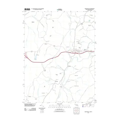
2011 Map of Grantsville
USGS Topo · Published 2011About this map
Grantsville serves as the focal point for this survey of the Maryland-Pennsylvania borderlands, where the Casselman River and its North and South branches carve through high-elevation terrain. Local history and industry are centered on landmarks like the Casselman Bridge and the Stanton Mill, reflecting the area's role as a transit and milling hub. The landscape is defined by prominent ridges and summits, including Negro Mountain, Packhorse Mountain, and Mount Nebo, which hem in smaller settlements like Jennings and Springs.
Find a feature on this map
113 named features on this map. Tap any name to fly to it.
Don’t see what you’re looking for? This feature index may not catch every label — zoom into the map to look around manually.
Map Details
Editions of this 2011 Grantsville Map
This is the sole edition of this map. No revisions or reprints were ever made.
Other maps of this area

1899 · Grantsville
USGS Topo · 1:62,500

1900 · Accident
USGS Topo · 1:62,500

1904 · Grantsville
USGS Topo · 1:62,500

1921 · Meyersdale
USGS Topo · 1:62,500

1922 · Confluence
USGS Topo · 1:62,500

1931 · Confluence
USGS Topo · 1:62,500

1933 · Confluence
USGS Topo · 1:62,500

1939 · Meyersdale
USGS Topo · 1:62,500

1944 · Meyersdale
USGS Topo · 1:62,500

1946 · Grantsville
USGS Topo · 1:24,000