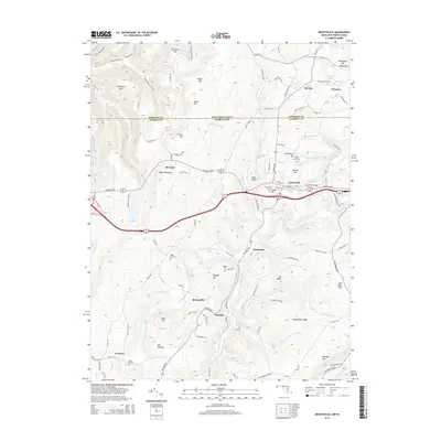
2014 Map of Grantsville
USGS Topo · Published 2014About this map
The Casselman River carves a deep valley through this portion of the Allegheny Mountains, where the historic National Pike crosses the water at the iconic Casselman Bridge. Located just south of the Pennsylvania-Maryland border, the town of Grantsville serves as a central hub for the surrounding upland communities of Springs, Jennings, and Bevansville. The landscape is defined by massive ridges, including Negro Mountain which reaches its Hi-Point here, and distinctive family-named landmarks like The Dunghill and Maust Hill. Genealogists will find several rural burial grounds preserved in the topography, such as Negro Mtn Cem, Ridgley Cem, and Dung Hill Cem. The drainage patterns of Little Laurel Run and Big Shade Run illustrate the complex watershed that directed early settlement and road development in Garrett County.
Find a feature on this map
114 named features on this map. Tap any name to fly to it.
Don’t see what you’re looking for? This feature index may not catch every label — zoom into the map to look around manually.
Map Details
Editions of this 2014 Grantsville Map
This is the sole edition of this map. No revisions or reprints were ever made.
Other maps of this area

1899 · Grantsville
USGS Topo · 1:62,500

1900 · Accident
USGS Topo · 1:62,500

1904 · Grantsville
USGS Topo · 1:62,500

1921 · Meyersdale
USGS Topo · 1:62,500

1922 · Confluence
USGS Topo · 1:62,500

1931 · Confluence
USGS Topo · 1:62,500

1933 · Confluence
USGS Topo · 1:62,500

1939 · Meyersdale
USGS Topo · 1:62,500

1944 · Meyersdale
USGS Topo · 1:62,500

1946 · Grantsville
USGS Topo · 1:24,000