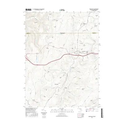
2016 Map of Grantsville
USGS Topo · Published 2016About this map
Grantsville and its surrounding mountain ridges define this corridor through Garrett Co and Somerset Co, where the historic National Pike crosses the Casselman River. The landscape is shaped by the steep rises of Negro Mountain and Meadow Mtn, with the river system providing a focal point for settlements like Jennings and Bevansville. In the northern section, the border between Pennsylvania and Maryland cuts across high elevations like Christner Hill and Ringer Hill, illustrating the trans-border connectivity of rural communities like Springs and Niverton.
Find a feature on this map
97 named features on this map. Tap any name to fly to it.
Don’t see what you’re looking for? This feature index may not catch every label — zoom into the map to look around manually.
Map Details
Editions of this 2016 Grantsville Map
This is the sole edition of this map. No revisions or reprints were ever made.
Other maps of this area

1899 · Grantsville
USGS Topo · 1:62,500

1900 · Accident
USGS Topo · 1:62,500

1904 · Grantsville
USGS Topo · 1:62,500

1921 · Meyersdale
USGS Topo · 1:62,500

1922 · Confluence
USGS Topo · 1:62,500

1931 · Confluence
USGS Topo · 1:62,500

1933 · Confluence
USGS Topo · 1:62,500

1939 · Meyersdale
USGS Topo · 1:62,500

1944 · Meyersdale
USGS Topo · 1:62,500

1946 · Grantsville
USGS Topo · 1:24,000