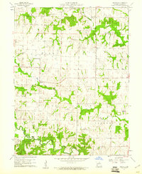
1960 Map of Granville
USGS Topo · Published 1961About this map
Granville serves as the central hub of this agricultural landscape in Monroe County, Missouri, at a time when rural education and local faith centers anchored the community. Small social landmarks like the Granville Sch and Salem Ch indicate a dispersed but connected population living along the plateaus between deep creek drainages. The terrain is defined by the winding course of the Middle Fork Salt River and the northern flow of Crooked Creek, which carve distinct valleys through the township boundaries of Clay, Washington, and Jackson. This 1960 field check reveals a network of country roads linking family landmarks such as Spencer Chapel Cem and Webb Cem, while a prominent Levee along Otter Creek suggests historical efforts to manage the local waterways for farming.
Find a feature on this map
16 named features on this map. Tap any name to fly to it.
Don’t see what you’re looking for? This feature index may not catch every label — zoom into the map to look around manually.
Map Details
Editions of this 1960 Granville Map
2 editions found
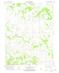
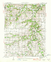
Other maps of this area

1890 · Mexico
USGS Topo · 1:125,000

1890 · Moberly
USGS Topo · 1:125,000

1903 · Palmyra
USGS Topo · 1:125,000
1945 · Florida
USGS Topo · 1:62,500

1948 · Quincy
USGS Topo · 1:250,000

1953 · Moberly
USGS Topo · 1:250,000

1954 · Moberly
USGS Topo · 1:250,000

1956 · Quincy
USGS Topo · 1:250,000

1957 · Moberly
USGS Topo · 1:250,000
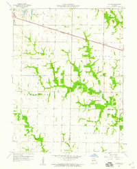
1958 · Lentner
USGS Topo · 1:24,000