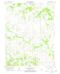
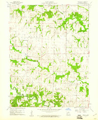
1960 Map of Granville
USGS Topo · Published 1977About this map
Granville serves as the central hub of this agricultural landscape in Monroe County, situated where the country roads converge north of a protective Levee. The settlement’s social fabric is visible through local landmarks like the Granville Sch, while the surrounding countryside is dotted with small rural congregations and resting places such as Crooked Creek Ch and Spencer Chapel Cem.
Find a feature on this map
17 named features on this map. Tap any name to fly to it.
Don’t see what you’re looking for? This feature index may not catch every label — zoom into the map to look around manually.
Map Details
Editions of this 1960 Granville Map
2 editions found
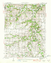
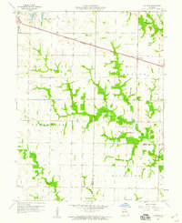
Other maps of this area

1890 · Mexico
USGS Topo · 1:125,000

1890 · Moberly
USGS Topo · 1:125,000

1903 · Palmyra
USGS Topo · 1:125,000
1945 · Florida
USGS Topo · 1:62,500

1948 · Quincy
USGS Topo · 1:250,000

1953 · Moberly
USGS Topo · 1:250,000

1954 · Moberly
USGS Topo · 1:250,000

1956 · Quincy
USGS Topo · 1:250,000

1957 · Moberly
USGS Topo · 1:250,000
1958 · Lentner
USGS Topo · 1:24,000