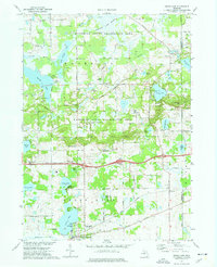
1973 Map of Grass Lake
USGS Topo · Published 1977About this map
Glacial lakes and marshlands dominate this portion of Jackson and Washtenaw counties, where the Waterloo State Recreation Area preserves a significant stretch of the regional landscape. The settlement of Grass Lake anchors the southern boundary, situated along the Penn Central Railroad and the historic Michigan Drain. The map reveals a transition from these agricultural and transit corridors to the protected hills and wetlands to the north.
Find a feature on this map
70 named features on this map. Tap any name to fly to it.
Don’t see what you’re looking for? This feature index may not catch every label — zoom into the map to look around manually.
Map Details
Editions of this 1973 Grass Lake Map
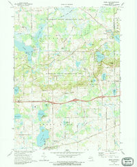
2 editions found
Other maps of this area

1919 · Stockbridge
USGS Topo · 1:62,500

1919 · Rives Junction
USGS Topo · 1:62,500

1921 · Rives Junction
USGS Topo · 1:62,500

1922 · Stockbridge
USGS Topo · 1:62,500

1935 · Jackson
USGS Topo · 1:48,000

1939 · Jackson
USGS Topo · 1:62,500

1942 · Stockbridge
USGS Topo · 1:62,500

1948 · Manchester
USGS Topo · 1:62,500

1949 · Manchester
USGS Topo · 1:62,500

1958 · Grand Rapids
USGS Topo · 1:250,000