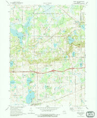
1973 Map of Grass Lake
USGS Topo · Published 1989About this map
Glacial geology and early settlement patterns define this portion of the Jackson Co and Washtenaw Co border in the early 1970s. The northern half is dominated by the Waterloo State Recreation Area, a landscape characterized by the vast Portage Lake Swamp and the Portage River. Small communities like Waterloo and Trist are situated near water features such as the Trist Millpond and Clear Lake, illustrating the historic reliance on local hydrology for power and community center-points.
Find a feature on this map
67 named features on this map. Tap any name to fly to it.
Don’t see what you’re looking for? This feature index may not catch every label — zoom into the map to look around manually.
Map Details
Editions of this 1973 Grass Lake Map
2 editions found
Other maps of this area

1919 · Stockbridge
USGS Topo · 1:62,500

1919 · Rives Junction
USGS Topo · 1:62,500

1921 · Rives Junction
USGS Topo · 1:62,500

1922 · Stockbridge
USGS Topo · 1:62,500

1935 · Jackson
USGS Topo · 1:48,000

1939 · Jackson
USGS Topo · 1:62,500

1942 · Stockbridge
USGS Topo · 1:62,500

1948 · Manchester
USGS Topo · 1:62,500

1949 · Manchester
USGS Topo · 1:62,500

1958 · Grand Rapids
USGS Topo · 1:250,000