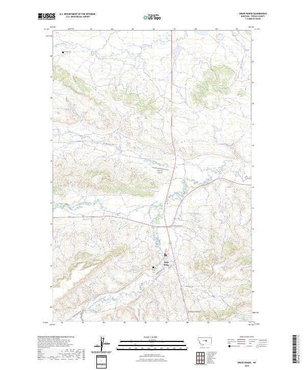
2024 Map of Grass Range
USGS Topo · Published 2024About this map
Grass Range serves as the central hub for this section of Fergus County, where local routes like W 7th St and Main St intersect. The settlement's history is anchored by the Grass Range Cem and the nearby Dengel Cem to the northwest. This landscape is defined by its complex drainage systems, specifically the convergence of the North Fork McDonald Creek and the South Fork McDonald Creek which feed into McDonald Creek. To the north, Chippewa Creek winds past Matovich Airport, highlighting the region's reliance on small-scale aviation for connectivity. The presence of routes such as the Tyler Cutoff and Forest Grove Rd suggests a network of ranch roads and historic paths that have long connected these isolated Montana communities.
Find a feature on this map
24 named features on this map. Tap any name to fly to it.
Don’t see what you’re looking for? This feature index may not catch every label — zoom into the map to look around manually.
Map Details
Editions of this 2024 Grass Range Map
This is the sole edition of this map. No revisions or reprints were ever made.
Other maps of this area

1954 · Roundup
USGS Topo · 1:250,000

1954 · Lewistown
USGS Topo · 1:250,000

1958 · Roundup
USGS Topo · 1:250,000

1959 · Lewistown
USGS Topo · 1:250,000

1986 · Briggs Coulee
USGS Topo · 1:24,000
1986 · Grass Range
USGS Topo · 1:24,000
1986 · Grass Range NW
USGS Topo · 1:24,000

1986 · Teigen NW
USGS Topo · 1:24,000
1986 · Grass Range NE
USGS Topo · 1:24,000
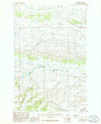
1986 · Fish Dam
USGS Topo · 1:24,000