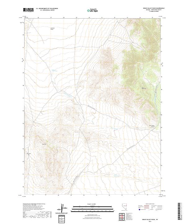
2021 Map of Grass Valley Wash
USGS Topo · Published 2021About this map
Kern Mountains dominate the eastern landscape of this high-desert region, where the rugged topography of Grass Valley Canyon gives way to open basins. The modern cartography of the U.S. Geological Survey details a network of ephemeral drainage systems including Grass Valley Wash and the meandering Grass Valley Cr. These seasonal watercourses are central to the geography of Antelope Valley in the north and Spring Valley Wash to the south.
Find a feature on this map
17 named features on this map. Tap any name to fly to it.
Don’t see what you’re looking for? This feature index may not catch every label — zoom into the map to look around manually.
Map Details
Editions of this 2021 Grass Valley Wash Map
This is the sole edition of this map. No revisions or reprints were ever made.
Other maps of this area

1956 · Ely
USGS Topo · 1:250,000

1959 · Ely
USGS Topo · 1:250,000

1963 · Ely
USGS Topo · 1:250,000
1981 · Tippett Canyon
USGS Topo · 1:24,000
1986 · Big Hard Pan
USGS Topo · 1:24,000
1986 · Tippett Pass
USGS Topo · 1:24,000
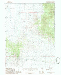
1986 · Grass Valley Wash
USGS Topo · 1:24,000
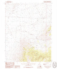
1986 · White Cloud Point
USGS Topo · 1:24,000
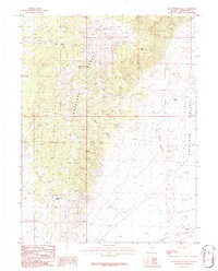
1986 · Rock Springs Pass
USGS Topo · 1:24,000
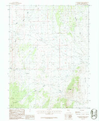
1986 · Government Peak
USGS Topo · 1:24,000