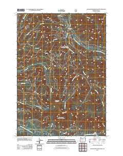
2011 Map of Grasshopper Mountain
USGS Topo · Published 2011About this map
The South Fork McKenzie River and the North Fork Middle Fork Willamette River define the northern and southern bounds of this terrain in the Cascade Range. Rising between these drainage systems, Grasshopper Mountain and Grasshopper Point dominate the central landscape, accompanied by the prominent peaks of Lowell Mountain and Hiyu Ridge. This survey reflects the complex hydrological network of the area, featuring numerous tributaries such as Starr Creek, Augusta Creek, and Loon Creek. Human activity is concentrated along the river corridors and forest service routes like S Fork Rd and Canyon Rd. The Dutch Oven Forest Camp serves as a specific point of interest for those studying the development of recreational infrastructure within this high-elevation forest environment during the early 21st century.
Find a feature on this map
22 named features on this map. Tap any name to fly to it.
Don’t see what you’re looking for? This feature index may not catch every label — zoom into the map to look around manually.
Map Details
Editions of this 2011 Grasshopper Mountain Map
This is the sole edition of this map. No revisions or reprints were ever made.
Other maps of this area

1925 · Waldo Lake
USGS Topo · 1:125,000

1934 · Mc Kenzie Bridge
USGS Topo · 1:96,000

1940 · Mc Kenzie Bridge
USGS Topo · 1:125,000

1953 · Salem
USGS Topo · 1:250,000

1954 · Salem
USGS Topo · 1:250,000

1955 · Chucksney Mtn
USGS Topo · 1:62,500

1955 · Blue River
USGS Topo · 1:62,500

1955 · Mc Kenzie Bridge
USGS Topo · 1:62,500

1956 · Sardine Butte
USGS Topo · 1:62,500

1958 · Roseburg
USGS Topo · 1:250,000