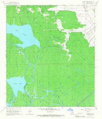
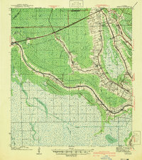
1965 Map of Grassy Lake
USGS Topo · Published 1966About this map
Lake Verret and Grassy Lake dominate this mid-century landscape in Assumption and St. Martin Parishes, where the labyrinthine waterways of the Atchafalaya Basin define the limits of human settlement. Along the northern and eastern fringes, communities like Upper Texas, Lower Texas, and Oakley sit on the higher ground adjacent to the Southern Pacific railroad line and the Himalaya Canal. The map records a transition from traditional bayou life to industrial utility, with the Lake Palourde Oil Field and several gas wells established in the southern swamps.
Find a feature on this map
39 named features on this map. Tap any name to fly to it.
Don’t see what you’re looking for? This feature index may not catch every label — zoom into the map to look around manually.
Map Details
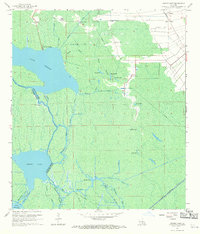
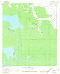
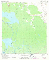
Editions of this 1965 Grassy Lake Map
4 editions found
Other maps of this area

1892 · Gibson
USGS Topo · 1:62,500

1892 · Thibodaux
USGS Topo · 1:62,500

1897 · Gibson
USGS Topo · 1:62,500

1927 · Thibodaux NW
USGS Topo · 1:31,680

1932 · Thibodaux SW
USGS Topo · 1:31,680

1935 · Morgan City
USGS Topo · 1:62,500

1938 · Labadieville
USGS Topo · 1:24,000

1939 · Gibson
USGS Topo · 1:62,500

1940 · Madewood
USGS Topo · 1:31,680
1941 · Gibson
USGS Topo · 1:62,500