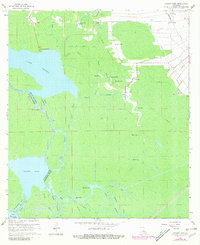
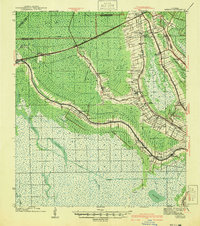
1965 Map of Grassy Lake
USGS Topo · Published 1981About this map
Lake Verret and the surrounding marshlands of south-central Louisiana define this landscape during the mid-1960s. The map captures an intricate network of waterways, including Fourmile Bayou and Bayou Felix, which served as the primary arteries for transit and industry before extensive road development. Small settlements like Attakapas Landing and Lower Texas appear as focal points of activity along the water's edge, while the industrial imprint of the era is visible in the Sherman Oil Field to the south.
Find a feature on this map
43 named features on this map. Tap any name to fly to it.
Don’t see what you’re looking for? This feature index may not catch every label — zoom into the map to look around manually.
Map Details
Editions of this 1965 Grassy Lake Map
4 editions found
Other maps of this area

1892 · Gibson
USGS Topo · 1:62,500

1892 · Thibodaux
USGS Topo · 1:62,500

1897 · Gibson
USGS Topo · 1:62,500

1927 · Thibodaux NW
USGS Topo · 1:31,680

1932 · Thibodaux SW
USGS Topo · 1:31,680

1935 · Morgan City
USGS Topo · 1:62,500

1938 · Labadieville
USGS Topo · 1:24,000

1939 · Gibson
USGS Topo · 1:62,500

1940 · Madewood
USGS Topo · 1:31,680
1941 · Gibson
USGS Topo · 1:62,500