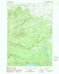
1989 Map of Grassy Lake Reservoir
USGS Topo · Published 1989About this map
Yellowstone National Park and the Targhee National Forest converge on this 1989 survey, where the high elevation of the Pitchstone Plateau drops away into a complex drainage of rivers and waterfalls. The southern reaches are defined by the Grassy Lake Reservoir and the John D Rockefeller Jr Memorial Parkway, reflecting the late-century management of these protected lands. Evidence of back-country access is visible through the Marysville Proposition Road and several pack trails that follow the rugged water courses.
Find a feature on this map
21 named features on this map. Tap any name to fly to it.
Don’t see what you’re looking for? This feature index may not catch every label — zoom into the map to look around manually.
Map Details
Editions of this 1989 Grassy Lake Reservoir Map
2 editions found
Other maps of this area

1886 · Shoshone
USGS Topo · 1:125,000

1888 · Shoshone
USGS Topo · 1:125,000

1895 · Shoshone
USGS Topo · 1:125,000

1901 · Shoshone
USGS Topo · 1:125,000

1908 · Shoshone
USGS Topo · 1:125,000

1911 · Shoshone
USGS Topo · 1:125,000

1955 · Ashton
USGS Topo · 1:250,000
1956 · West Thumb
USGS Topo · 1:62,500

1956 · Old Faithful
USGS Topo · 1:62,500

1956 · Grassy Lake Reservoir
USGS Topo · 1:62,500