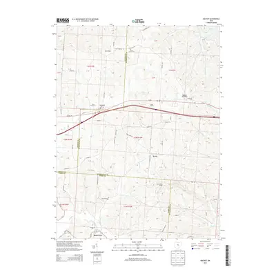
2013 Map of Gratiot
USGS Topo · Published 2013About this map
Gratiot and Mount Sterling sit atop the high ground of the Flint Ridge region, where the historical National Rd follows the winding path of modern W Pike. This 2013 topographic study highlights a landscape defined by its rural heritage, crossing the boundaries of Licking, Muskingum, and Perry counties. The settlement pattern remains largely anchored by small crossroads and family cemeteries, such as the Poplar Fork Cem and the Old Presbyterian Cem.
Find a feature on this map
96 named features on this map. Tap any name to fly to it.
Don’t see what you’re looking for? This feature index may not catch every label — zoom into the map to look around manually.
Map Details
Editions of this 2013 Gratiot Map
This is the sole edition of this map. No revisions or reprints were ever made.
Other maps of this area

1909 · Newark
USGS Topo · 1:62,500

1909 · Thornville
USGS Topo · 1:62,500

1910 · Frazeysburg
USGS Topo · 1:62,500

1910 · Zanesville
USGS Topo · 1:62,500

1947 · Columbus
USGS Topo · 1:250,000

1950 · Marion
USGS Topo · 1:250,000

1961 · Columbus
USGS Topo · 1:250,000

1961 · Hanover
USGS Topo · 1:24,000

1961 · Zanesville West
USGS Topo · 1:24,000
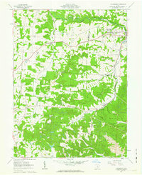
1961 · Fultonham
USGS Topo · 1:24,000