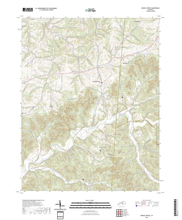
2022 Map of Gravel Switch
USGS Topo · Published 2022About this map
Gravel Switch sits at the center of this Kentucky landscape, a point where the road network converges between the Marion, Boyle, and Casey county lines. The terrain is defined by a dense system of knobs and ridges, including Cooley Knob, Buffalo Lick Knob, and the prominent Lovers Leap overlooking the North Rolling Fork. Small communities and family-named landmarks like Riley, Aliceton, and Craintown are connected by winding rural routes such as Aliceton Rd and Riley Rd. Genealogists will find numerous burial sites throughout the hills, from the centrally located Rollertown Cem and Rawlings Cem to the more remote Tatum Cem and Elder Cem. The hydrology is equally intricate, with Logan Cr and Beech Fork cutting through the northern reaches while the Little South Fork drains the southeast near Porter Knob.
Find a feature on this map
85 named features on this map. Tap any name to fly to it.
Don’t see what you’re looking for? This feature index may not catch every label — zoom into the map to look around manually.
Map Details
Editions of this 2022 Gravel Switch Map
This is the sole edition of this map. No revisions or reprints were ever made.
Other maps of this area

1905 · Harrodsburg
USGS Topo · 1:125,000

1952 · Perryville
USGS Topo · 1:24,000

1952 · Ellisburg
USGS Topo · 1:24,000

1952 · Bradfordsville
USGS Topo · 1:24,000

1952 · Parksville
USGS Topo · 1:24,000

1953 · Mackville
USGS Topo · 1:24,000

1953 · Bradfordsville NE
USGS Topo · 1:24,000

1953 · Gravel Switch
USGS Topo · 1:24,000

1953 · Lebanon East
USGS Topo · 1:24,000

1953 · Springfield
USGS Topo · 1:24,000