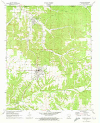
1971 Map of Gravette
USGS Topo · Published 1973About this map
Sulphur Springs and Gravette anchor this topographical study of the Ozark foothills in Benton County, Arkansas, during the early 1970s. The landscape is defined by the KANSAS CITY SOUTHERN Railroad, which follows the contours of Horse Creek and Butler Creek through the rugged corridor. A notable concentration of subterranean features, including Spanish Treasure Cave and Popcorn Cave, highlights the karst topography of the region. Local history is preserved through scattered burial sites like GAR Cem and Bethel Cem, alongside the small community of Nebo. The map documents a period of established local infrastructure, from the High Sch and Hospital in Gravette to the various Quarry sites that speak to the area's mineral extraction activities near the Missouri border.
Find a feature on this map
30 named features on this map. Tap any name to fly to it.
Don’t see what you’re looking for? This feature index may not catch every label — zoom into the map to look around manually.
Map Details
Editions of this 1971 Gravette Map
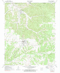
2 editions found
Other maps of this area

1899 · Fayetteville
USGS Topo · 1:125,000

1899 · Siloam Springs
USGS Topo · 1:125,000

1901 · Fayetteville
USGS Topo · 1:125,000

1903 · Siloam Springs
USGS Topo · 1:125,000

1904 · Siloam Springs
USGS Topo · 1:125,000

1904 · Fayetteville
USGS Topo · 1:125,000

1907 · Wyandotte
USGS Topo · 1:125,000

1909 · Wyandotte
USGS Topo · 1:125,000

1940 · Noel
USGS Topo · 1:62,500

1943 · Noel
USGS Topo · 1:62,500