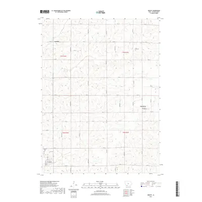
2018 Map of Gravity
USGS Topo · Published 2018About this map
Gravity and Sharpsburg serve as the primary anchors for this Iowa agricultural landscape, which follows the traditional section lines of the Public Land Survey System. The terrain is defined by a dense network of local roads such as Maryland Ave and 130th St, which connect dispersed farmsteads and small rural settlements. The map documents several significant burial grounds including Blue Grove Cem and Gravity Cem, which provide essential touchpoints for genealogical research in Taylor County.
Find a feature on this map
40 named features on this map. Tap any name to fly to it.
Don’t see what you’re looking for? This feature index may not catch every label — zoom into the map to look around manually.
Map Details
Editions of this 2018 Gravity Map
This is the sole edition of this map. No revisions or reprints were ever made.
Other maps of this area

1940 · Bedford
USGS Topo · 1:62,500

1940 · New Market
USGS Topo · 1:62,500

1943 · Bedford
USGS Topo · 1:62,500

1943 · New Market
USGS Topo · 1:62,500

1955 · Nebraska City
USGS Topo · 1:250,000

1957 · Nebraska City
USGS Topo · 1:250,000

1958 · Nebraska City
USGS Topo · 1:250,000

1980 · Corning South
USGS Topo · 1:24,000

1980 · Gravity
USGS Topo · 1:24,000

1980 · Merle Junction
USGS Topo · 1:24,000