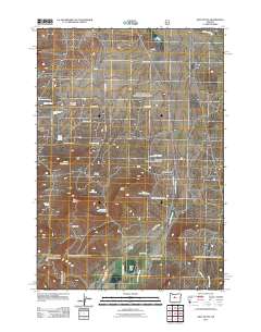
2011 Map of Gray Butte
USGS Topo · Published 2011About this map
Gray Butte Cemetery and the McCoin Orchard serve as quiet reminders of early agricultural life in this pocket of Central Oregon. The landscape is defined by its arid drainage systems and volcanic relief, dominated by the prominent elevation of Gray Butte and the adjacent Cyrus Hill. Water management and livestock operations are central to the area's development, evidenced by the Pilot Butte North Canal in the south and various mountain springs like Red Top Spring and Lithgow Spring.
Find a feature on this map
32 named features on this map. Tap any name to fly to it.
Don’t see what you’re looking for? This feature index may not catch every label — zoom into the map to look around manually.
Map Details
Editions of this 2011 Gray Butte Map
This is the sole edition of this map. No revisions or reprints were ever made.
Other maps of this area

1926 · Bend
USGS Topo · 1:125,000

1928 · Madras
USGS Topo · 1:125,000

1929 · Bend
USGS Topo · 1:125,000

1931 · Madras
USGS Topo · 1:125,000

1955 · Bend
USGS Topo · 1:250,000

1957 · Bend
USGS Topo · 1:250,000

1958 · Bend
USGS Topo · 1:250,000

1961 · Redmond
USGS Topo · 1:24,000

1962 · Opal City
USGS Topo · 1:24,000

1962 · Oneil
USGS Topo · 1:24,000