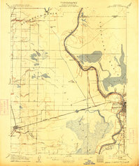
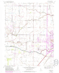
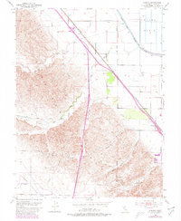
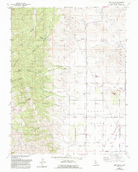
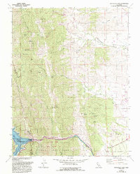
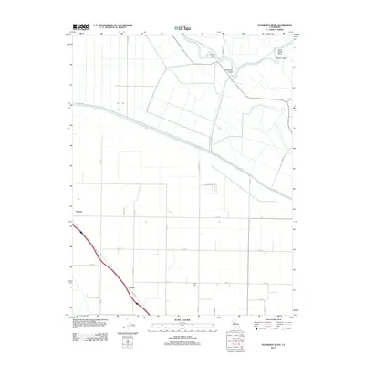
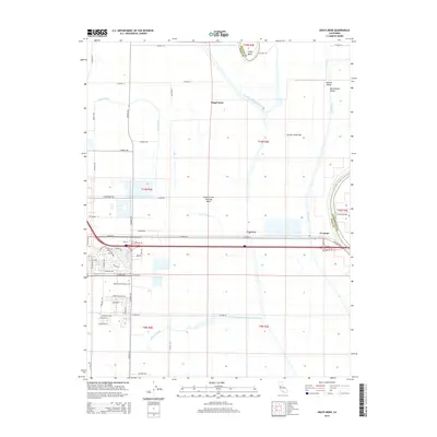
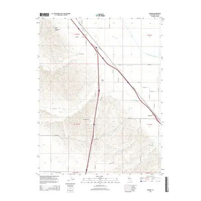
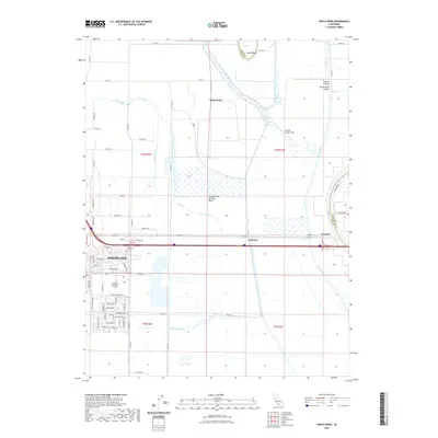
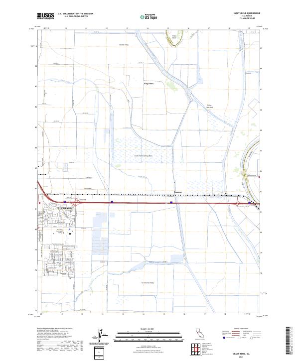
1953 Map of Grays Bend
USGS Topo · Published 1977About this map
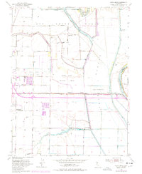
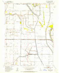
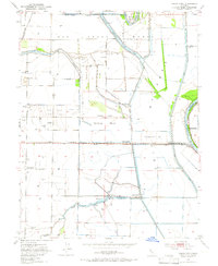
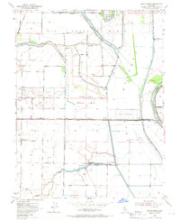
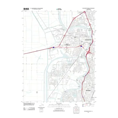
Rio Jesus Maria forms the foundational geography of this landscape, where complex water management systems define the Sacramento Valley. The map documents an engineered hydraulic environment dominated by the Yolo Bypass and the Knights Landing Ridge Cut, designed to handle seasonal floodwaters. Settlement is sparse and largely agricultural, represented by operations like Conway Ranch and King Farms. Transportation corridors are critical here, with the Sacramento Northern railway traversing the territory alongside the Sacramento River. Of particular interest to local historians is the Willow Spring Union School and the small riverside community of Fremont, while industrial footprints like the Cache Creek Settling Basin and Woodland Sewage Farm show the mid-century expansion of municipal infrastructure into the surrounding plains.
Find a feature on this map
26 named features on this map. Tap any name to fly to it.
Don’t see what you’re looking for? This feature index may not catch every label — zoom into the map to look around manually.
Map Details
Editions of this 1953 Grays Bend Map
4 editions found
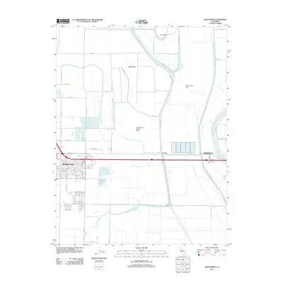
Historical Maps of Woodland Through Time
55 maps found
1907 Davisville
Yolo County, CA

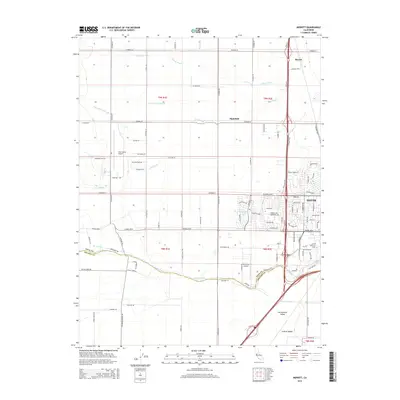
1915 Merritt
Yolo County, CA

1915 Ronda
Yolo County, CA

1915 Swingle
Yolo County, CA

1916 Babel Slough
Yolo County, CA

1916 Grays Bend
Yolo County, CA

1916 Jacobs Corner
Yolo County, CA

1916 Lovdal
Yolo County, CA
1916 Zamora
Yolo County, CA

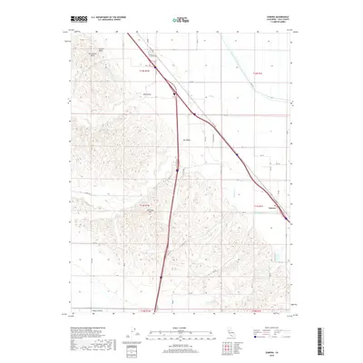
1924 Capay
Yolo County, CA

1943 Capay
Yolo County, CA

1945 Capay
Yolo County, CA

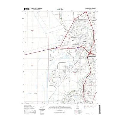
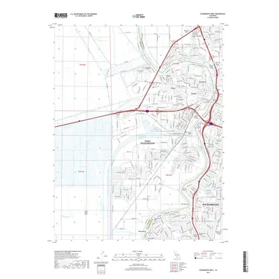
1948 Sacramento West
Yolo County, CA
1949 Sacramento West
Yolo County, CA
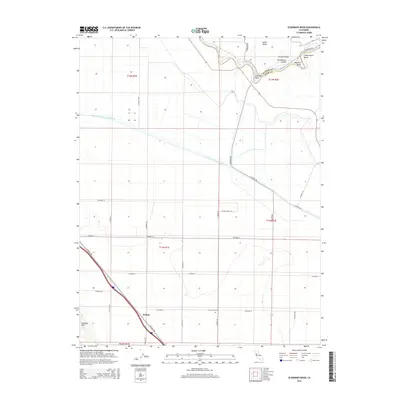
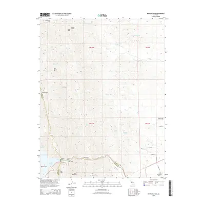
1952 Eldorado Bend
Yolo County, CA
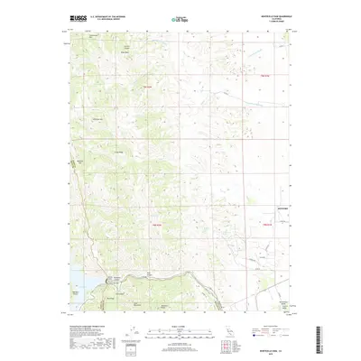
1952 Merritt
Yolo County, CA
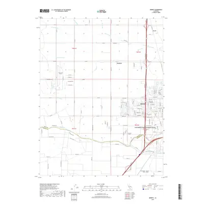
1953 Grays Bend
Yolo County, CA
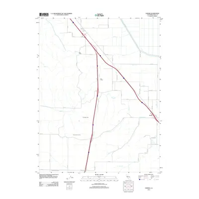
1953 Zamora
Yolo County, CA
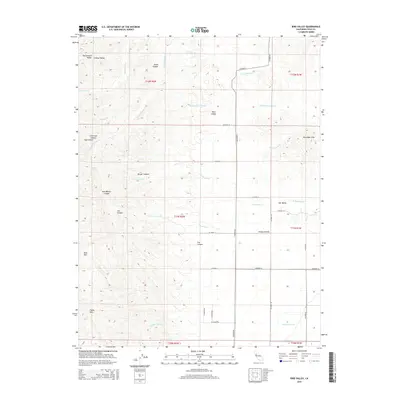
1959 Bird Valley
Yolo County, CA
1959 Lake Berryessa
Yolo County, CA
1959 Monticello Dam
Yolo County, CA
1967 Sacramento West
Yolo County, CA

1992 Merritt
Yolo County, CA

1992 Sacramento West
Yolo County, CA
1992 Zamora
Yolo County, CA
2012 Bird Valley
Yolo County, CA
2012 Eldorado Bend
Yolo County, CA
2012 Grays Bend
Yolo County, CA
2012 Merritt
Yolo County, CA
2012 Monticello Dam
Yolo County, CA
2012 Sacramento West
Yolo County, CA
2012 Zamora
Yolo County, CA
2015 Bird Valley
Yolo County, CA
2015 Eldorado Bend
Yolo County, CA
2015 Grays Bend
Yolo County, CA
2015 Merritt
Yolo County, CA
2015 Monticello Dam
Yolo County, CA
2015 Sacramento West
Yolo County, CA
2015 Zamora
Yolo County, CA
2018 Bird Valley
Yolo County, CA
2018 Eldorado Bend
Yolo County, CA
2018 Grays Bend
Yolo County, CA
2018 Merritt
Yolo County, CA
2018 Monticello Dam
Yolo County, CA
2018 Sacramento West
Yolo County, CA
2018 Zamora
Yolo County, CA
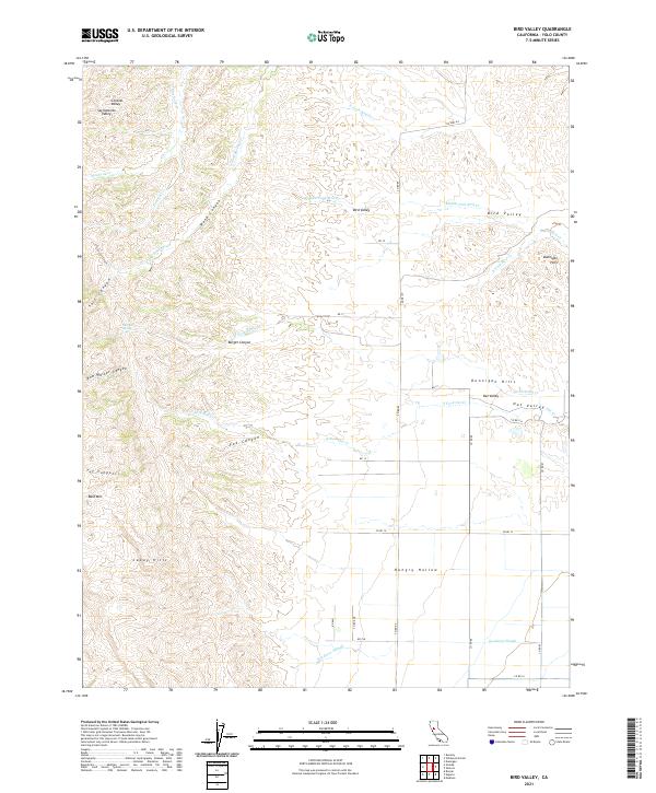
2021 Bird Valley
Yolo County, CA
2021 Grays Bend
Yolo County, CA

2021 Monticello Dam
Yolo County, CA
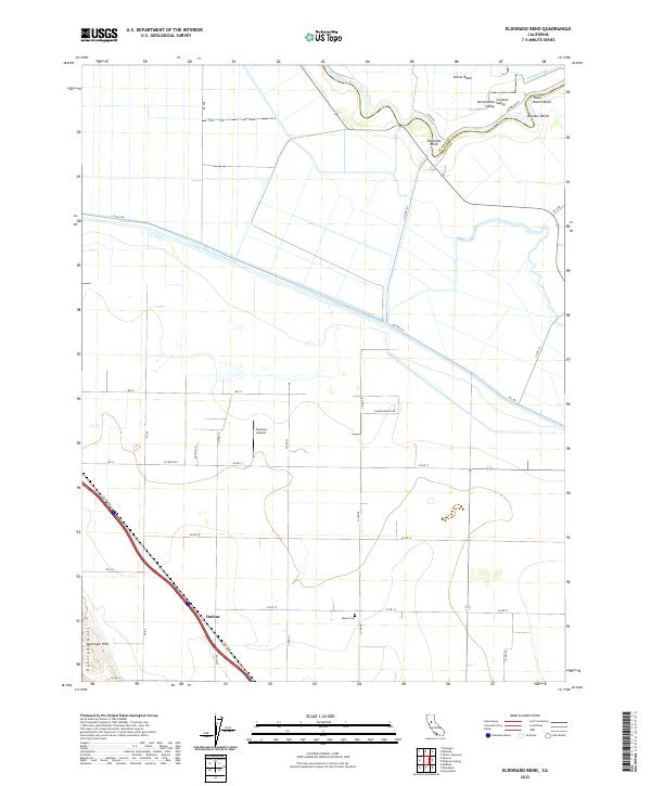
2022 Eldorado Bend
Yolo County, CA
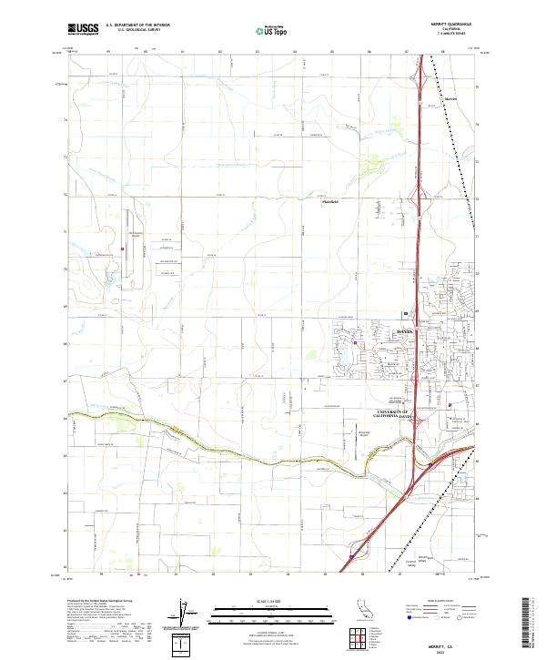
2022 Merritt
Yolo County, CA
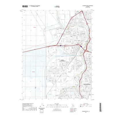
2022 Sacramento West
Yolo County, CA
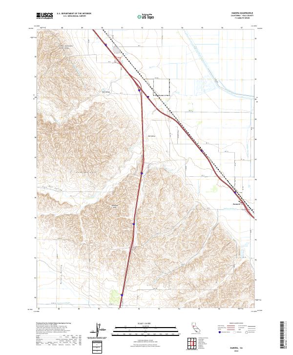
2022 Zamora
Yolo County, CA
2023 Grays Bend
Yolo County, CA

2023 Sacramento West
Yolo County, CA