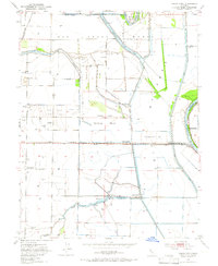
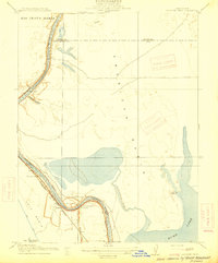
1953 Map of Grays Bend
USGS Topo · Published 1966About this map
The Rio Jesus Maria land grant area presents a complex landscape of mid-century water management and agricultural infrastructure along the Sacramento River. This territory is defined by the massive Yolo Bypass and the Cache Creek Settling Basin, revealing how the Central Valley's natural drainage was re-engineered for flood control. Near the riverside, the small settlement of Fremont and the Elkhorn Ferry crossing mark historic transit points where the Garden Highway follows the levee. The map also captures specialized industrial and municipal sites of the early 1950s, such as the Woodland Sewage Farm and the Beet Pulp Silo at the waste disposal area. Rural education is anchored by the Willow Spring Union School, while the Sacramento Northern and Southern Pacific lines illustrate the rail-dependent economy of local operations like King Farms and Conway Ranch.
Find a feature on this map
32 named features on this map. Tap any name to fly to it.
Don’t see what you’re looking for? This feature index may not catch every label — zoom into the map to look around manually.
Map Details
Editions of this 1953 Grays Bend Map
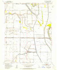
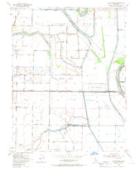
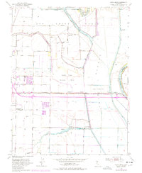
4 editions found
Other maps of this area

1907 · Dunnigan
USGS Topo · 1:62,500

1907 · Woodland
USGS Topo · 1:62,500

1907 · Davisville
USGS Topo · 1:62,500

1910 · Knights Landing
USGS Topo · 1:31,680

1910 · Vernon
USGS Topo · 1:31,680

1915 · Yolo
USGS Topo · 1:31,680

1915 · Swingle
USGS Topo · 1:31,680

1915 · Ronda
USGS Topo · 1:31,680
1915 · Elkhorn Weir
USGS Topo · 1:31,680

1915 · Merritt
USGS Topo · 1:31,680