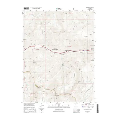
2016 Map of Grays Peak
USGS Topo · Published 2016About this map
Graymont and Bakerville occupy the narrow valley floor where Clear Cr flows between the high peaks of the Front Range. This map details the intersection of early mining infrastructure and modern recreational corridors along the Continental Divide National Scenic Trail. Evidence of the region’s subterranean history is found at the Golden Belt Tunnel near Graymont and the San Juan Tunnel in Stevens Gulch, which cuts deep beneath the divide. The landscape is defined by its verticality, with named peaks like Mt Parnassus and Mt Sniktau rising above a series of drainages including Herman Gulch, Watrous Gulch, and Kearney Gulch. Traditional routes like the Waldorf Wagon Rd and Torreys Summit Trail reflect the area’s long history of access to timberline and beyond.
Find a feature on this map
75 named features on this map. Tap any name to fly to it.
Don’t see what you’re looking for? This feature index may not catch every label — zoom into the map to look around manually.
Map Details
Editions of this 2016 Grays Peak Map
This is the sole edition of this map. No revisions or reprints were ever made.
Other maps of this area

1903 · Georgetown
USGS Topo · 1:62,500

1905 · Central City
USGS Topo · 1:62,500

1905 · Georgetown
USGS Topo · 1:62,500

1910 · Central City
USGS Topo · 1:62,500

1912 · Central City
USGS Topo · 1:62,500

1924 · Montezuma
USGS Topo · 1:62,500

1924 · Fraser
USGS Topo · 1:62,500

1926 · Fraser
USGS Topo · 1:62,500

1926 · Montezuma
USGS Topo · 1:62,500

1933 · Montezuma
USGS Topo · 1:62,500