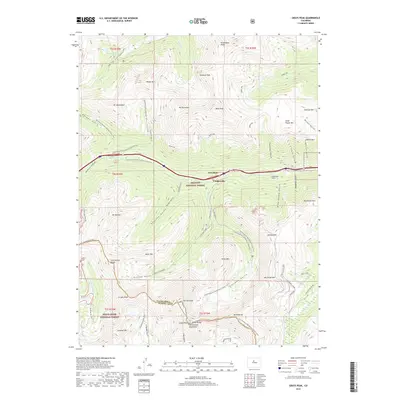
2019 Map of Grays Peak
USGS Topo · Published 2019About this map
Torreys Peak and Grays Peak anchor the southern reaches of this high-altitude survey, marking a prominent section of the Continental Divide. The landscape is defined by the stark drainage patterns of the Front Range, where headwaters such as the N Fork Snake River and Clear Creek originate. The presence of the Golden Belt Tunnel and San Juan Tunnel reflects the region's deep-rooted mining history, while modern transit and recreation are represented by the Bakerville-Loveland corridor and the winding Continental Divide National Scenic Trail. Small settlements like Bakerville and Graymont sit along the valley floor, serving as access points to the surrounding peaks. To the west, the Loveland Pass crossing provides a critical high-mountain link between Arapaho and White River national forests.
Find a feature on this map
75 named features on this map. Tap any name to fly to it.
Don’t see what you’re looking for? This feature index may not catch every label — zoom into the map to look around manually.
Map Details
Editions of this 2019 Grays Peak Map
This is the sole edition of this map. No revisions or reprints were ever made.
Other maps of this area

1903 · Georgetown
USGS Topo · 1:62,500

1905 · Central City
USGS Topo · 1:62,500

1905 · Georgetown
USGS Topo · 1:62,500

1910 · Central City
USGS Topo · 1:62,500

1912 · Central City
USGS Topo · 1:62,500

1924 · Montezuma
USGS Topo · 1:62,500

1924 · Fraser
USGS Topo · 1:62,500

1926 · Fraser
USGS Topo · 1:62,500

1926 · Montezuma
USGS Topo · 1:62,500

1933 · Montezuma
USGS Topo · 1:62,500