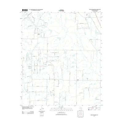
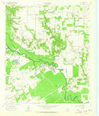
2012 Map of Grays Prairie
USGS Topo · Published 2012About this map
Grays Prairie and the surrounding Kaufman County countryside appear as a landscape defined by small-scale cattle ranching and scattered residential development during the early 21st century. The terrain is intricately drained by numerous waterways including Kings Cr, Big Cottonwood Cr, and Little Cottonwood Cr, which together feed into larger basins like Coffee Lake and Vaughn Lake. The settlement patterns around Lively and Stubbs reflect the region's agricultural roots, with an extensive network of county roads like Co RD 4080 and Co RD 4125 connecting rural homesteads. The presence of Erco Field Airport in the northern portion of the quadrangle highlights the intersection of traditional land use with modern utility. This survey captures a moment of transition as legacy farm tracts are increasingly subdivided by quiet lanes such as Bluebonnet DR and Country Acres LN.
Find a feature on this map
93 named features on this map. Tap any name to fly to it.
Don’t see what you’re looking for? This feature index may not catch every label — zoom into the map to look around manually.
Map Details
Editions of this 2012 Grays Prairie Map
This is the sole edition of this map. No revisions or reprints were ever made.
Other maps of this area
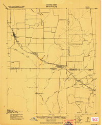
1920 · Kemp
USGS Topo · 1:62,500

1954 · Dallas
USGS Topo · 1:250,000
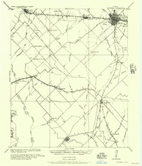
1956 · Kaufman
USGS Topo · 1:62,500
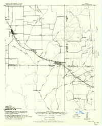
1957 · Kemp
USGS Topo · 1:62,500

1958 · Dallas
USGS Topo · 1:250,000
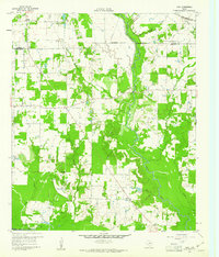
1960 · Tool
USGS Topo · 1:24,000
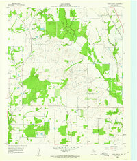
1960 · Grays Prairie
USGS Topo · 1:24,000
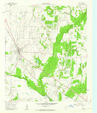
1961 · Kemp
USGS Topo · 1:24,000
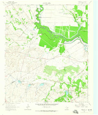
1962 · Rosser SW
USGS Topo · 1:24,000
1962 · Styx
USGS Topo · 1:24,000