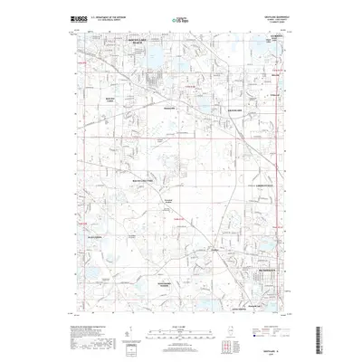
2018 Map of Grayslake
USGS Topo · Published 2018About this map
Grayslake and Mundelein anchor this 2018 survey of Lake County, Illinois, showcasing a landscape defined by its glacial lakes and suburban development. The map details a complex network of residential clusters and incorporated villages, including Round Lake Beach, Hawthorn Woods, and Hainesville. These communities are interspersed with numerous bodies of water such as Highland Lake, Grays Lake, and the expansive Loch Lomond.
Find a feature on this map
104 named features on this map. Tap any name to fly to it.
Don’t see what you’re looking for? This feature index may not catch every label — zoom into the map to look around manually.
Map Details
Editions of this 2018 Grayslake Map
This is the sole edition of this map. No revisions or reprints were ever made.
Other maps of this area
1900 · Highwood
USGS Topo · 1:62,500
1906 · Waukegan
USGS Topo · 1:62,500
1908 · Waukegan
USGS Topo · 1:62,500
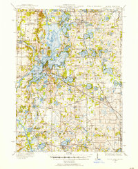
1920 · Grays Lake
USGS Topo · 1:62,500
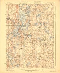
1923 · Grays Lake
USGS Topo · 1:62,500
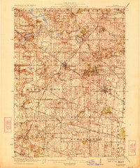
1923 · Barrington
USGS Topo · 1:62,500
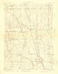
1928 · Wheeling
USGS Topo · 1:24,000
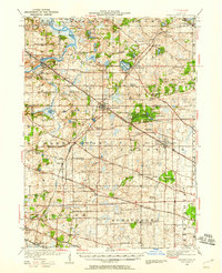
1935 · Barrington
USGS Topo · 1:62,500
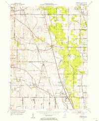
1953 · Wheeling
USGS Topo · 1:24,000

1954 · Rockford
USGS Topo · 1:250,000