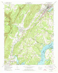
1972 Map of Graysville
USGS Topo · Published 1974About this map
The Cumberland Escarpment dominates the western landscape of this Rhea County survey, dropping sharply toward the river valley where the Southern Railway links the settlements of Graysville and Dayton. This era shows a community balancing industry and nature, with strip mines dotting the ridges above town while the Hiwassee Wildlife Refuge and Blythe Ferry Goose Management Area occupy the wetlands at the confluence of the Hiwassee River and Tennessee River.
Find a feature on this map
85 named features on this map. Tap any name to fly to it.
Don’t see what you’re looking for? This feature index may not catch every label — zoom into the map to look around manually.
Map Details
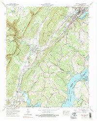
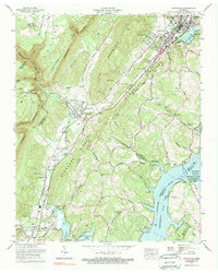
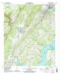
Editions of this 1972 Graysville Map
4 editions found
Other maps of this area

1886 · Cleveland
USGS Topo · 1:125,000

1887 · Kingston
USGS Topo · 1:125,000

1888 · Chattanooga
USGS Topo · 1:125,000

1891 · Kingston
USGS Topo · 1:125,000

1892 · Pikeville
USGS Topo · 1:125,000

1892 · Cleveland
USGS Topo · 1:125,000

1893 · Chattanooga
USGS Topo · 1:125,000

1893 · Kingston
USGS Topo · 1:125,000

1895 · Cleveland
USGS Topo · 1:125,000

1895 · Pikeville
USGS Topo · 1:125,000