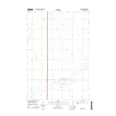
2014 Map of Great Bend
USGS Topo · Published 2014About this map
The village of Great Bend sits near the heart of this North Dakota landscape, situated just east of where a major north-south highway intersects the winding course of the Wild Rice River. The river's serpentine path creates a distinct contrast with the rigid grid of section line roads that define the region's agricultural layout, including 174th Ave SE and 81st St SE. In the northern portion of the map, the S Br Antelope Cr cuts across the prairie, while south of the main settlement, the Trinity Cem stands along Co Road 15. This configuration of infrastructure and waterways illustrates a classic Red River Valley settlement pattern, where small communities established themselves near reliable water sources while remaining tethered to the critical transportation corridors like Cr-16 that connect them to the broader region.
Find a feature on this map
21 named features on this map. Tap any name to fly to it.
Don’t see what you’re looking for? This feature index may not catch every label — zoom into the map to look around manually.
Map Details
Editions of this 2014 Great Bend Map
This is the sole edition of this map. No revisions or reprints were ever made.
Other maps of this area

1904 · Wahpeton
USGS Topo · 1:125,000

1953 · Fargo
USGS Topo · 1:250,000

1956 · Fargo
USGS Topo · 1:250,000

1960 · Mooreton West
USGS Topo · 1:24,000

1960 · Mooreton East
USGS Topo · 1:24,000

1964 · Hankinson
USGS Topo · 1:24,000

1964 · Fairmount NW
USGS Topo · 1:24,000

1964 · Mantador
USGS Topo · 1:24,000

1964 · Hankinson SE
USGS Topo · 1:24,000

1964 · Great Bend
USGS Topo · 1:24,000