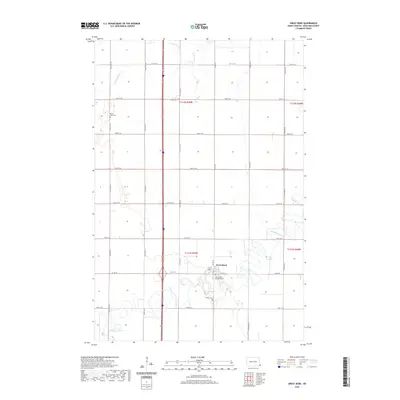
2020 Map of Great Bend
USGS Topo · Published 2020About this map
Great Bend anchors this portion of Richland County, positioned where Co Rd 16 and 3rd St meet amidst the meandering course of the Wild Rice River. The landscape is defined by the section-line grid typical of the Red River Valley, with gravel and paved roads like 85th St SE and 81st St SE segmenting the agricultural expanse. Local history and genealogy are centered on several rural burial grounds, including the Divet Farm Cem in the northwest and the Trinity Cem located south of the main settlement. The Zion United Methodist Cem sits near the river's edge, illustrating the early community's connection to the local waterways. To the north, the S Br Antelope Cr cuts through the plains, providing natural drainage for the surrounding farmland.
Find a feature on this map
20 named features on this map. Tap any name to fly to it.
Don’t see what you’re looking for? This feature index may not catch every label — zoom into the map to look around manually.
Map Details
Editions of this 2020 Great Bend Map
This is the sole edition of this map. No revisions or reprints were ever made.
Other maps of this area

1904 · Wahpeton
USGS Topo · 1:125,000

1953 · Fargo
USGS Topo · 1:250,000

1956 · Fargo
USGS Topo · 1:250,000

1960 · Mooreton West
USGS Topo · 1:24,000

1960 · Mooreton East
USGS Topo · 1:24,000

1964 · Hankinson
USGS Topo · 1:24,000

1964 · Fairmount NW
USGS Topo · 1:24,000

1964 · Mantador
USGS Topo · 1:24,000

1964 · Hankinson SE
USGS Topo · 1:24,000

1964 · Great Bend
USGS Topo · 1:24,000