2024 Map of Great Bend
USGS Topo · Published 2024About this map
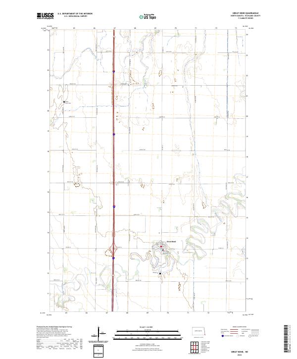
Great Bend occupies a prominent position near the winding loops of the Wild Rice River in this modern survey of Richland County. The settlement patterns in this corner of North Dakota are defined by a rigid grid of agricultural roads, such as Co Rd 16 and 174th Ave SE, which intersect the natural meanders of the river. Local history is anchored by several rural burial sites, including the Zion United Methodist Cem and Trinity Cem, which reflect the community's longstanding social and religious foundations. Farther north, the landscape is drained by the South Branch Antelope Creek, while the Divet Farm Cem sits as a quiet landmark among the expansive fields of the Red River Valley. The map captures the enduring rural character of the region, where family-named landmarks and small-town centers persist amidst the geometric precision of the Public Land Survey System.
Find a feature on this map
26 named features on this map. Tap any name to fly to it.
Don’t see what you’re looking for? This feature index may not catch every label — zoom into the map to look around manually.
Map Details
Editions of this 2024 Great Bend Map
This is the sole edition of this map. No revisions or reprints were ever made.