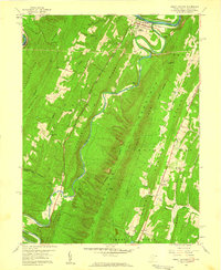
1958 Map of Great Cacapon
USGS Topo · Published 1959About this map
The Potomac River and Cacapon River converge in this mid-century portrait of Morgan County, where the settlement of Great Cacapon serves as a focal point for the region's transport and industry. The landscape is defined by the sharp, parallel ridges of the Appalachian Valley and Ridge province, including Sideling Hill and Cacapon Mountain. Transportation corridors are well-established, with the Baltimore and Ohio Railroad and the Western Maryland Railway hugging the riverbanks. Local life is documented through rural landmarks like Mt Nebo Ch, Bethel Ch, and Mt Tabor Ch, alongside the Mt Garfield Sch. This era captures the area's balance between conservation at Cacapon State Park and local resource extraction at a named Quarry. Unique geological features like Fluted Rocks and Prospect Rock highlight the distinctive terrain that shaped the early development of this West Virginia-Maryland borderland.
Find a feature on this map
48 named features on this map. Tap any name to fly to it.
Don’t see what you’re looking for? This feature index may not catch every label — zoom into the map to look around manually.
Map Details
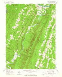
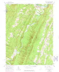
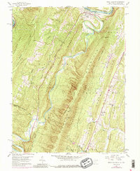
Editions of this 1958 Great Cacapon Map
4 editions found
Other maps of this area

1894 · Winchester
USGS Topo · 1:125,000

1898 · Paw Paw
USGS Topo · 1:62,500

1899 · Hancock
USGS Topo · 1:62,500

1900 · Pawpaw
USGS Topo · 1:62,500

1901 · Hancock
USGS Topo · 1:62,500

1910 · Paw Paw
USGS Topo · 1:62,500

1914 · Gerrardstown
USGS Topo · 1:48,000

1916 · Gerrardstown
USGS Topo · 1:62,500

1916 · Capon Bridge
USGS Topo · 1:62,500

1923 · Capon Bridge
USGS Topo · 1:62,500