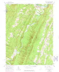
1958 Map of Great Cacapon
USGS Topo · Published 1976About this map
Great Cacapon serves as the focal point of this survey, situated at the strategic confluence where the Cacapon River meets the Potomac River. The terrain is defined by the parallel ridges of Sideling Hill, Tonoloway Ridge, and Cacapon Mountain, which shape the narrow valleys and the paths of the Baltimore and Ohio and Western Maryland railroads. These transit corridors highlight the importance of the river gaps to Appalachian transport during the mid-20th century.
Find a feature on this map
45 named features on this map. Tap any name to fly to it.
Don’t see what you’re looking for? This feature index may not catch every label — zoom into the map to look around manually.
Map Details
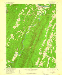
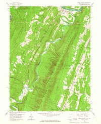
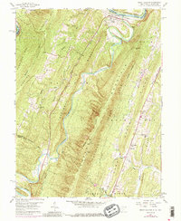
Editions of this 1958 Great Cacapon Map
4 editions found
Other maps of this area

1894 · Winchester
USGS Topo · 1:125,000

1898 · Paw Paw
USGS Topo · 1:62,500

1899 · Hancock
USGS Topo · 1:62,500

1900 · Pawpaw
USGS Topo · 1:62,500

1901 · Hancock
USGS Topo · 1:62,500

1910 · Paw Paw
USGS Topo · 1:62,500

1914 · Gerrardstown
USGS Topo · 1:48,000

1916 · Gerrardstown
USGS Topo · 1:62,500

1916 · Capon Bridge
USGS Topo · 1:62,500

1923 · Capon Bridge
USGS Topo · 1:62,500