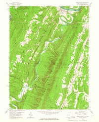
1958 Map of Great Cacapon
USGS Topo · Published 1967About this map
Great Cacapon serves as the focal point of this survey, situated where the Cacapon River meanders sharply north to its confluence with the Potomac River. The landscape is dominated by the steep, parallel ridges of Cacapon Mountain, Sideling Hill, and Warm Spring Ridge, which dictate the paths of early transportation and settlement. The Baltimore and Ohio Railroad and the Western Maryland Railway hug the riverbanks, illustrating the vital role of the water gap as a corridor for westward expansion through the Appalachian heights. Local heritage is preserved in the numerous country churches and schools scattered across the ridges, including Mt Nebo Ch and the Mt Garfield Sch. The inclusion of Cacapon State Park boundaries and an Airway Beacon on the mountain crest reflects the era's emerging focus on conservation and modern aviation navigation alongside traditional rural life.
Find a feature on this map
46 named features on this map. Tap any name to fly to it.
Don’t see what you’re looking for? This feature index may not catch every label — zoom into the map to look around manually.
Map Details
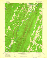
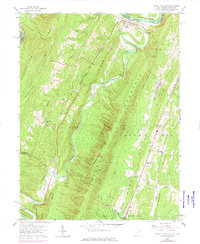
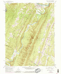
Editions of this 1958 Great Cacapon Map
4 editions found
Other maps of this area

1894 · Winchester
USGS Topo · 1:125,000

1898 · Paw Paw
USGS Topo · 1:62,500

1899 · Hancock
USGS Topo · 1:62,500

1900 · Pawpaw
USGS Topo · 1:62,500

1901 · Hancock
USGS Topo · 1:62,500

1910 · Paw Paw
USGS Topo · 1:62,500

1914 · Gerrardstown
USGS Topo · 1:48,000

1916 · Gerrardstown
USGS Topo · 1:62,500

1916 · Capon Bridge
USGS Topo · 1:62,500

1923 · Capon Bridge
USGS Topo · 1:62,500