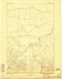
1886 Map of Great Falls
USGS Topo · Published 1896About this map
Great Falls serves as a central hub on the Missouri River in this survey based on triangulation by the Northern Transcontinental Survey. The landscape is defined by the convergence of major waterways, including the Smith River and the Sun River, which met at a time when frontier outposts and early cattle-country settlements were still establishing their footprints. Significant for local historians is the placement of St. Peter's Mission in the southwest and the Stickney Ferry near the settlement of Stickney. The map reveals an era of transition before widespread irrigation, marked by isolated landmarks like 28 Mile Spring and the Alkali Pond. The presence of Fort Shaw on the Sun River underscores the military and logistical importance of this region during the late nineteenth century, while names like Perrysburgh and Truly denote the scattered nature of early township development.
Find a feature on this map
32 named features on this map. Tap any name to fly to it.
Don’t see what you’re looking for? This feature index may not catch every label — zoom into the map to look around manually.
Map Details
Editions of this 1886 Great Falls Map
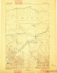
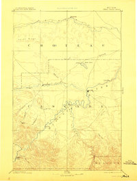
4 editions found
Other maps of this area

1886 · Great Falls
USGS Topo · 1:250,000

1886 · Fort Logan
USGS Topo · 1:250,000

1886 · Little Belt Mts.
USGS Topo · 1:250,000

1889 · Helena
USGS Topo · 1:250,000

1890 · Fort Benton
USGS Topo · 1:250,000

1892 · Fort Benton
USGS Topo · 1:250,000

1893 · Helena
USGS Topo · 1:250,000

1894 · Little Belt Mts.
USGS Topo · 1:250,000

1897 · Fort Benton
USGS Topo · 1:250,000

1897 · Little Belt Mts.
USGS Topo · 1:250,000