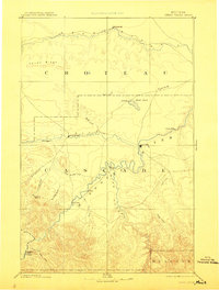
1886 Map of Great Falls
USGS Topo · Published 1912About this map
The confluence of the Missouri River and the Sun River anchors this late-nineteenth-century study of the Montana Territory. Originally surveyed by the Northern Transcontinental Survey, the landscape is defined by the sharp transition from the Teton Ridge down into the river basins where Great Falls was just beginning to emerge as a regional hub. To the west, the military and missionary influence of the frontier era is visible at Fort Shaw and St. Peter's Mission, indicating the strategic importance of this corridor for travel and settlement.
Find a feature on this map
34 named features on this map. Tap any name to fly to it.
Don’t see what you’re looking for? This feature index may not catch every label — zoom into the map to look around manually.
Map Details
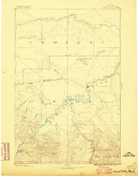
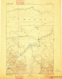
Editions of this 1886 Great Falls Map
4 editions found
Other maps of this area

1886 · Great Falls
USGS Topo · 1:250,000

1886 · Fort Logan
USGS Topo · 1:250,000

1886 · Little Belt Mts.
USGS Topo · 1:250,000

1889 · Helena
USGS Topo · 1:250,000

1890 · Fort Benton
USGS Topo · 1:250,000

1892 · Fort Benton
USGS Topo · 1:250,000

1893 · Helena
USGS Topo · 1:250,000

1894 · Little Belt Mts.
USGS Topo · 1:250,000

1897 · Fort Benton
USGS Topo · 1:250,000

1897 · Little Belt Mts.
USGS Topo · 1:250,000