
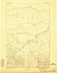
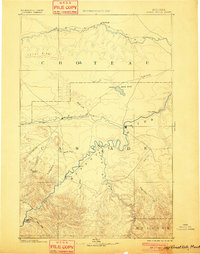
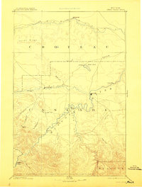
1886 Map of Great Falls
USGS Topo · Published 1886About this map
St. Peter's Mission sits at the base of the mountainous terrain in the southwest, anchoring a landscape defined by the confluence of the Missouri River, Smith River, and Sun River. This 1886 survey, compiled with data from the Northern Transcontinental Survey, documents the region shortly after the founding of Great Falls. Settlement patterns follow the river valleys, with small outposts like Truly, Ulida, and Chestnut appearing along the Missouri.
Find a feature on this map
32 named features on this map. Tap any name to fly to it.
Don’t see what you’re looking for? This feature index may not catch every label — zoom into the map to look around manually.
Map Details
Editions of this 1886 Great Falls Map
4 editions found
Other maps of this area

1886 · Fort Logan
USGS Topo · 1:250,000

1886 · Little Belt Mts.
USGS Topo · 1:250,000

1889 · Helena
USGS Topo · 1:250,000

1890 · Fort Benton
USGS Topo · 1:250,000

1892 · Fort Benton
USGS Topo · 1:250,000

1893 · Helena
USGS Topo · 1:250,000

1894 · Little Belt Mts.
USGS Topo · 1:250,000

1897 · Fort Benton
USGS Topo · 1:250,000

1897 · Little Belt Mts.
USGS Topo · 1:250,000

1898 · Little Belt Mts.
USGS Topo · 1:250,000