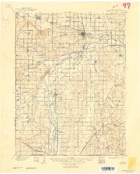
1902 Map of Greeley
USGS Topo · Published 1949About this map
The South Platte River and its complex network of irrigation ditches and tributaries anchor this turn-of-the-century landscape, where agriculture and early industry began to reshape the plains. Greeley serves as the regional hub, surrounded by a high density of reservoirs and named canals like the Greeley Ditch, which were essential for the area's development. The map reveals a land defined by early ranching and extraction, featuring family-named landmarks such as Todd's Ranch and Klug's Ranch, alongside early mining operations like the Black Prince Coal Mine and 3 Link Coal Mine.
Find a feature on this map
53 named features on this map. Tap any name to fly to it.
Don’t see what you’re looking for? This feature index may not catch every label — zoom into the map to look around manually.
Map Details
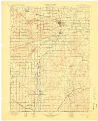
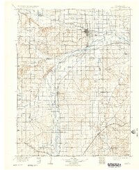
Editions of this 1902 Greeley Map
4 editions found
Other maps of this area

1890 · East Denver
USGS Topo · 1:125,000

1899 · West Denver
USGS Topo · 1:125,000

1902 · Greeley
USGS Topo · 1:125,000

1904 · Niwot
USGS Topo · 1:62,500

1906 · Loveland
USGS Topo · 1:62,500

1906 · Fort Collins
USGS Topo · 1:62,500

1907 · Livermore
USGS Topo · 1:125,000

1908 · Loveland
USGS Topo · 1:62,500

1908 · Fort Collins
USGS Topo · 1:62,500

1908 · Eaton
USGS Topo · 1:125,000