
1902 Map of Greeley
USGS Topo · Published 1902About this map
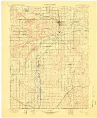
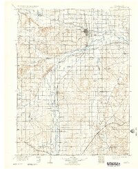
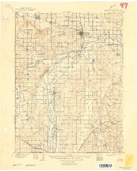
The South Platte River and its confluence with the Cache la Poudre River anchor this turn-of-the-century landscape, revealing an intricate network of irrigation and early industrial development. Agricultural growth is evident through extensive waterways like the Greeley Ditch, which support established communities such as Greeley, Evans, and Fort Lupton. The map captures a transition toward mineral extraction on the eastern plains, specifically identifying the Black Prince Coal Mine and the 3 Link Coal Mine.
Find a feature on this map
43 named features on this map. Tap any name to fly to it.
Don’t see what you’re looking for? This feature index may not catch every label — zoom into the map to look around manually.
Map Details
Editions of this 1902 Greeley Map
4 editions found
Other maps of this area

1890 · East Denver
USGS Topo · 1:125,000

1899 · West Denver
USGS Topo · 1:125,000

1904 · Niwot
USGS Topo · 1:62,500

1906 · Loveland
USGS Topo · 1:62,500

1906 · Fort Collins
USGS Topo · 1:62,500

1907 · Livermore
USGS Topo · 1:125,000

1908 · Loveland
USGS Topo · 1:62,500

1908 · Fort Collins
USGS Topo · 1:62,500

1908 · Eaton
USGS Topo · 1:125,000

1909 · Livermore
USGS Topo · 1:125,000