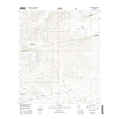
2015 Map of Green Gables
USGS Topo · Published 2015About this map
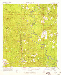
The Kisatchie National Forest spans much of this landscape north of Pineville, where the terrain is defined by a dense network of creeks including Clear Creek, Beaver Creek, and Flagon Creek. The settlement of Green Gables lies along the southern edge, while the smaller community of Bob appears to the northeast. Historical transit patterns are preserved in the naming of Walker Ferry Rd and Donahue Ferry Rd, hinting at old river-crossing points that predated modern infrastructure. Local genealogy is anchored by the Clear Creek Church and its adjacent Clear Creek Cem, as well as the Lofton Cem further east. The map also captures the large footprint of the Esler Regional Airport and a municipal Water Plant, marking the intersection of the region's wilderness character with essential local services.
Find a feature on this map
63 named features on this map. Tap any name to fly to it.
Don’t see what you’re looking for? This feature index may not catch every label — zoom into the map to look around manually.
Map Details
Editions of this 2015 Green Gables Map
This is the sole edition of this map. No revisions or reprints were ever made.
Other maps of this area
1936 · Pollock
USGS Topo · 1:62,500
1941 · Jena
USGS Topo · 1:62,500
1941 · Alexandria
USGS Topo · 1:62,500
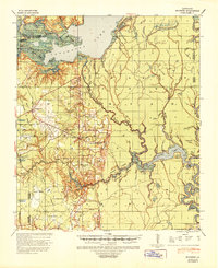
1941 · Buckeye
USGS Topo · 1:62,500
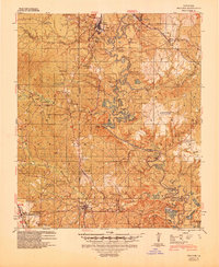
1941 · Pollock
USGS Topo · 1:62,500

1953 · Alexandria
USGS Topo · 1:250,000

1955 · Alexandria
USGS Topo · 1:250,000
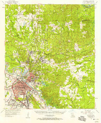
1957 · Alexandria
USGS Topo · 1:62,500
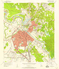
1957 · Alexandria
USGS Topo · 1:24,000
1958 · Pollock
USGS Topo · 1:62,500