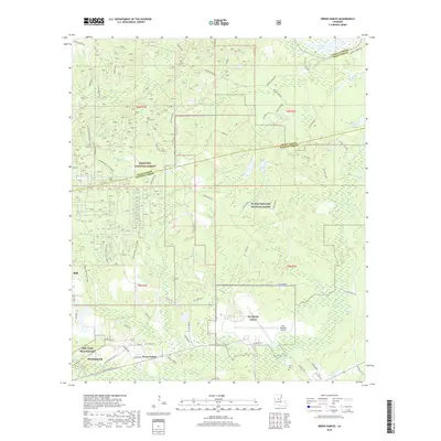
2018 Map of Green Gables
USGS Topo · Published 2018About this map
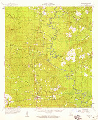
The Kisatchie National Forest dominates much of this central Louisiana landscape, where the dense woodlands are intersected by military installations and aviation infrastructure. South of the Little River, the terrain accommodates both the NG Beauregard Training Range and the SMR Camp Beauregard, highlighting the area's significance for regional defense and training. The presence of NG Esler Field and the Esler Regional Airport further defines the southern corridor near the communities of Pineville and Ball. Historical local connections are visible through family-named landmarks and rural institutions such as Clear Creek Church and the nearby Clear Creek Cem. Small settlements like Green Gables sit alongside winding waterways including Beaver Cr and Flagon Bayou, illustrating a rural development pattern that persists despite the proximity of large-scale federal and military land holdings.
Find a feature on this map
56 named features on this map. Tap any name to fly to it.
Don’t see what you’re looking for? This feature index may not catch every label — zoom into the map to look around manually.
Map Details
Editions of this 2018 Green Gables Map
This is the sole edition of this map. No revisions or reprints were ever made.
Other maps of this area
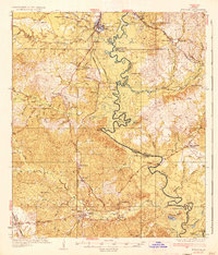
1936 · Pollock
USGS Topo · 1:62,500
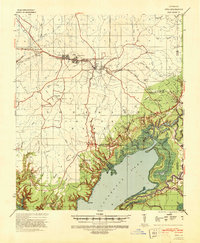
1941 · Jena
USGS Topo · 1:62,500
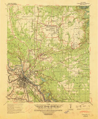
1941 · Alexandria
USGS Topo · 1:62,500
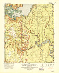
1941 · Buckeye
USGS Topo · 1:62,500
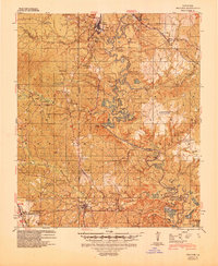
1941 · Pollock
USGS Topo · 1:62,500

1953 · Alexandria
USGS Topo · 1:250,000

1955 · Alexandria
USGS Topo · 1:250,000
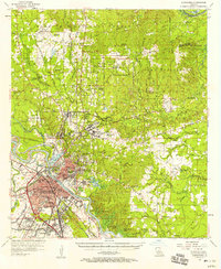
1957 · Alexandria
USGS Topo · 1:62,500
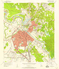
1957 · Alexandria
USGS Topo · 1:24,000
1958 · Pollock
USGS Topo · 1:62,500