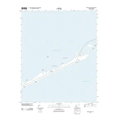
2011 Map of Green Island
USGS Topo · Published 2011About this map
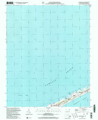
The narrow coastal barrier of the Outer Banks stands between the Pamlico Sound and the Atlantic Ocean in this coastal survey. This environment is characterized by shifting sands and low-lying marshes, where features like Quork Hammock and Legged Lump emerge from the shallow sound waters. The map captures a fragile geography of maritime dunes and scrublands, including the Styron Hills and the aptly named Scrag Cedars. Transport across this maritime landscape is facilitated by the Hatteras Island Free Ferry, which connects the isolated stretches of beach. Small landing spots and outposts like Gary Braggs Camp and Point Beach represent the sparse human footprint on this wind-swept stretch of Dare County coastline.
Find a feature on this map
16 named features on this map. Tap any name to fly to it.
Don’t see what you’re looking for? This feature index may not catch every label — zoom into the map to look around manually.
Map Details
Editions of this 2011 Green Island Map
This is the sole edition of this map. No revisions or reprints were ever made.
Other maps of this area
1948 · Ocracoke
USGS Topo · 1:24,000

1950 · Howard Reef
USGS Topo · 1:24,000
1950 · Green Island
USGS Topo · 1:24,000

1955 · Wanchese
USGS Topo · 1:250,000

1957 · Manteo
USGS Topo · 1:250,000

1960 · Manteo
USGS Topo · 1:250,000

1985 · Cape Hatteras
USGS Topo · 1:100,000
2002 · Ocracoke
USGS Topo · 1:24,000
2002 · Howard Reef
USGS Topo · 1:24,000
2011 · Hatteras
USGS Topo · 1:24,000