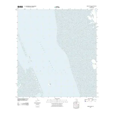
2010 Map of Green Island
USGS Topo · Published 2010About this map
Green Island and its surrounding wetlands occupy the center of this coastal survey, where the shallow waters of the Laguna Madre dominate the landscape. The map highlights the critical maritime path of the Intracoastal Waterway, which cuts through the lagoon west of the small islands. To the east, the edge of Padre Island provides a natural barrier against the Gulf, while the isolated Deer Island sits tucked against the shoreline. This 2010 edition illustrates the complex estuarine environment of South Texas, focusing on the preservation of these coastal features and the essential shipping channel that maintains the regional economy.
Find a feature on this map
5 named features on this map. Tap any name to fly to it.
Don’t see what you’re looking for? This feature index may not catch every label — zoom into the map to look around manually.
Map Details
Editions of this 2010 Green Island Map
This is the sole edition of this map. No revisions or reprints were ever made.
Other maps of this area

1929 · Buena Vista
USGS Topo · 1:24,000

1930 · La Leona
USGS Topo · 1:24,000

1930 · Padre Island No. 2
USGS Topo · 1:24,000

1935 · Padre Island NO. 2
USGS Topo · 1:31,680

1935 · Buena Vista
USGS Topo · 1:31,680

1936 · La Leona
USGS Topo · 1:31,680

1952 · Green Island
USGS Topo · 1:24,000
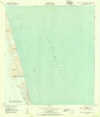
1952 · North Of Port Isabel NW
USGS Topo · 1:24,000

1952 · South of Potrero Lopeno SE
USGS Topo · 1:24,000

1952 · Hawk Island
USGS Topo · 1:24,000