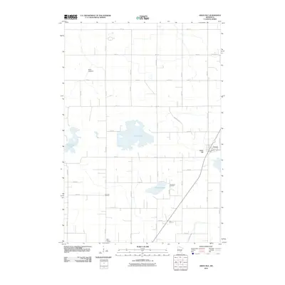
2010 Map of Green Isle
USGS Topo · Published 2010About this map
Green Isle serves as the primary hub of this agricultural landscape in Sibley County, characterized by a regular grid of section roads and scattered water bodies. The presence of several dedicated burial grounds, including the Green Isle Cemetery, Zion School Cemetery, and Saint Marys Cemetery, provides significant data points for local genealogy and land-use history. The natural geography is defined by basins like Curran Lake and Schauer Lake, alongside the notable Brian Lakebed, which suggests the changing hydrological state of the region. Transportation follows a strict cardinal alignment, though the diagonal path of Stagecoach Rd and the central operations of the Green Isle Post Office anchor the settlement's local infrastructure.
Find a feature on this map
44 named features on this map. Tap any name to fly to it.
Don’t see what you’re looking for? This feature index may not catch every label — zoom into the map to look around manually.
Map Details
Editions of this 2010 Green Isle Map
This is the sole edition of this map. No revisions or reprints were ever made.
Other maps of this area

1953 · Saint Paul
USGS Topo · 1:250,000

1953 · New Ulm
USGS Topo · 1:250,000

1957 · New Ulm
USGS Topo · 1:250,000

1957 · Belle Plaine
USGS Topo · 1:62,500

1957 · Waconia
USGS Topo · 1:62,500

1958 · New Ulm
USGS Topo · 1:250,000

1958 · Gaylord
USGS Topo · 1:62,500

1958 · Glencoe
USGS Topo · 1:62,500

1959 · Saint Paul
USGS Topo · 1:250,000

1967 · New Ulm
USGS Topo · 1:250,000