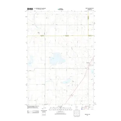
2013 Map of Green Isle
USGS Topo · Published 2013About this map
Green Isle serves as the primary hub of this Sibley County landscape, where the town's grid meets the diagonal path of MN-5. The surrounding countryside is defined by an extensive network of water management features, including High Island Ditch Number Two and Judicial Ditch Number Eight, which navigate the low-lying terrain between scattered basins like Curran Lake and Schauer Lake. This infrastructure reveals the long-term engineering required to maintain the region's agricultural productivity.
Find a feature on this map
51 named features on this map. Tap any name to fly to it.
Don’t see what you’re looking for? This feature index may not catch every label — zoom into the map to look around manually.
Map Details
Editions of this 2013 Green Isle Map
This is the sole edition of this map. No revisions or reprints were ever made.
Other maps of this area

1953 · Saint Paul
USGS Topo · 1:250,000

1953 · New Ulm
USGS Topo · 1:250,000

1957 · New Ulm
USGS Topo · 1:250,000

1957 · Belle Plaine
USGS Topo · 1:62,500

1957 · Waconia
USGS Topo · 1:62,500

1958 · New Ulm
USGS Topo · 1:250,000

1958 · Gaylord
USGS Topo · 1:62,500

1958 · Glencoe
USGS Topo · 1:62,500

1959 · Saint Paul
USGS Topo · 1:250,000

1967 · New Ulm
USGS Topo · 1:250,000