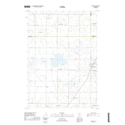
2019 Map of Green Isle
USGS Topo · Published 2019About this map
Green Isle serves as the primary settlement in this part of Sibley County, showing the town's modern layout at the intersection of Western Ave and McGrann St. The surrounding agricultural landscape is defined by a series of distinct basins and water management systems. Numerous water bodies like Curran Lake, Schauer Lake, and Severance Lake are interspersed with former lake sites such as Brian Lakebed, Bear Lakebed, and Fahey Lakebed, reflecting the evolving hydrology of the region. Engineered drainage is evident through significant features like Judicial Ditch Number Eight and High Island Ditch Number Two. For local historians and genealogists, the map provides precise locations for several burial grounds, including the Green Isle Cem, Zion School Cem, and Saint Marys Cem near the southern boundary. The topography shows the transition between Carver, McLeod, and Sibley counties along a network of numbered rural roads.
Find a feature on this map
63 named features on this map. Tap any name to fly to it.
Don’t see what you’re looking for? This feature index may not catch every label — zoom into the map to look around manually.
Map Details
Editions of this 2019 Green Isle Map
This is the sole edition of this map. No revisions or reprints were ever made.
Other maps of this area

1953 · Saint Paul
USGS Topo · 1:250,000

1953 · New Ulm
USGS Topo · 1:250,000

1957 · New Ulm
USGS Topo · 1:250,000

1957 · Belle Plaine
USGS Topo · 1:62,500

1957 · Waconia
USGS Topo · 1:62,500

1958 · New Ulm
USGS Topo · 1:250,000

1958 · Gaylord
USGS Topo · 1:62,500

1958 · Glencoe
USGS Topo · 1:62,500

1959 · Saint Paul
USGS Topo · 1:250,000

1967 · New Ulm
USGS Topo · 1:250,000