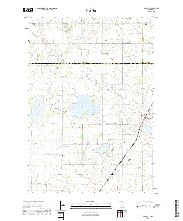
2022 Map of Green Isle
USGS Topo · Published 2022About this map
Green Isle sits at the eastern edge of a landscape defined by its glacial history and agricultural drainage systems. This portion of Sibley and McLeod counties is characterized by numerous depressions, including Severance Lake, Curran Lake, and Schauer Lake, alongside several areas identified as lakebeds, such as Brian Lakebed and Bear Lakebed. These features point to a shifting hydrologic environment where former open waters have transitioned into wetlands or seasonal basins.
Find a feature on this map
69 named features on this map. Tap any name to fly to it.
Don’t see what you’re looking for? This feature index may not catch every label — zoom into the map to look around manually.
Map Details
Editions of this 2022 Green Isle Map
This is the sole edition of this map. No revisions or reprints were ever made.
Other maps of this area

1953 · Saint Paul
USGS Topo · 1:250,000

1953 · New Ulm
USGS Topo · 1:250,000

1957 · New Ulm
USGS Topo · 1:250,000

1957 · Belle Plaine
USGS Topo · 1:62,500

1957 · Waconia
USGS Topo · 1:62,500

1958 · New Ulm
USGS Topo · 1:250,000

1958 · Gaylord
USGS Topo · 1:62,500

1958 · Glencoe
USGS Topo · 1:62,500

1959 · Saint Paul
USGS Topo · 1:250,000

1967 · New Ulm
USGS Topo · 1:250,000