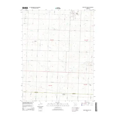
2014 Map of Green Ridge South
USGS Topo · Published 2014About this map
Green Ridge and the surrounding rural landscapes of central Missouri are mapped here during the early twenty-first century, showing the transition between northern Pettis County and the border of Benton County. The area is defined by a dendritic network of small waterways, most notably the Basin Fork and N Flat Cr, which carve through the agricultural grid. These streams influenced the placement of early settlements like Bryson and the southern hamlet of Brandon.
Find a feature on this map
60 named features on this map. Tap any name to fly to it.
Don’t see what you’re looking for? This feature index may not catch every label — zoom into the map to look around manually.
Map Details
Editions of this 2014 Green Ridge South Map
This is the sole edition of this map. No revisions or reprints were ever made.
Other maps of this area

1885 · Warrensburg
USGS Topo · 1:125,000

1887 · Clinton
USGS Topo · 1:125,000

1887 · Sedalia
USGS Topo · 1:125,000

1887 · Warsaw
USGS Topo · 1:125,000

1887 · Warrensburg
USGS Topo · 1:125,000

1894 · Warsaw
USGS Topo · 1:125,000

1894 · Sedalia
USGS Topo · 1:125,000

1894 · Warrensburg
USGS Topo · 1:125,000

1894 · Clinton
USGS Topo · 1:125,000

1944 · Sedalia West
USGS Topo · 1:24,000